Satellite-Derived Insights into the Gulf Coast's Meteorological Volatility

The transit of storm Isaias across the Gulf Coast served as a critical opportunity for NASA to leverage its satellite constellation for meteorological analysis. By capturing high-fidelity imagery and synthesizing this data with historical archives, researchers are refining predictive models and identifying long-term climatological trends. This ongoing scientific interrogation is essential for developing robust mitigation strategies against extreme weather. As coastal communities face increasing environmental uncertainties, NASA's commitment to monitoring atmospheric dynamics remains an indispensable asset, fostering both public safety and a deeper understanding of our planet's evolving climate mechanisms.
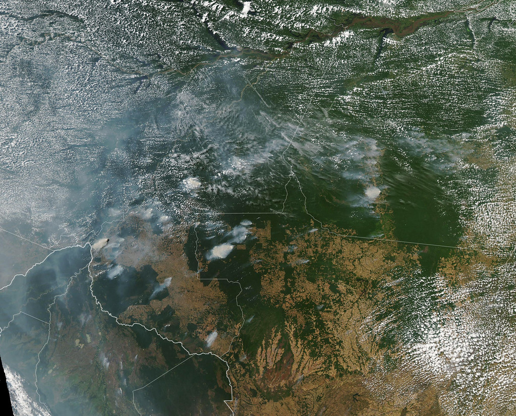
The recent transit of storm Isaias across the Gulf Coast provided a poignant case study regarding the inherent volatility of regional meteorological systems. Utilizing a sophisticated constellation of Earth-observing satellites, NASA facilitated a comprehensive analysis of the storm’s trajectory and structural evolution. By meticulously monitoring the atmosphere from orbital vantage points, researchers successfully captured high-fidelity imagery delineating the storm's extensive cloud architecture. This pervasive cloud cover was sufficiently dense to attenuate solar irradiance, precipitating a marked dimming of daylight hours across the affected coastal corridors. Residents situated within the storm's path reported high-velocity winds and turbulent maritime conditions, a testament to the event's considerable severity. The empirical data harvested during this interval is profoundly significant, as it empowers scientists to refine their predictive algorithms and augment our collective understanding of storm intensity. Furthermore, by synthesizing this contemporary data with extensive historical archives, researchers can discern long-term climatological trends, which is paramount for the formulation of robust mitigation strategies. Although the immediate exigency has dissipated, the rigorous scientific interrogation of the event persists. NASA’s steadfast commitment to Earth science remains a cornerstone of its operational mandate, with ongoing initiatives designed to scrutinize the intricate complexities of our evolving planet. By investigating the interplay between atmospheric dynamics and oceanic responses, scientists aspire to enhance the precision of future meteorological forecasts. Such endeavors are increasingly vital, particularly as coastal communities grapple with escalating exposure to extreme weather phenomena. The study of Isaias transcends the scope of an isolated incident; rather, it represents a continuum of effort to comprehend the underlying mechanisms of Earth's environment. Through this analytical vigilance, NASA provides the foundational tools necessary for both public safety and scientific advancement. As we navigate the uncertainties of a shifting climate, satellite-based observation remains an indispensable asset, ensuring that society remains informed and resilient against the environmental challenges that lie ahead.
Take a position. Out loud, if you can.
Four ways to start. Pick one and try saying it before you scroll on.
Tip · Record yourself, use in a notebook, or practice with a language partner.
What does the text imply about the role of satellite imagery in this context?
Participle Clauses
Using a participle phrase to condense information and show cause or sequence.
“By meticulously monitoring the atmosphere from orbital vantage points, researchers successfully captured high-fidelity imagery delineating the storm's extensive cloud architecture.”
What to know · C1
Try saying this aloud
Scenario: Writing an academic or professional abstract
- 01“This study facilitates a comprehensive analysis of...”
- 02“The empirical data harvested during this interval is profoundly significant...”
- 03“This transcends the scope of an isolated incident.”
Register tip · formal
🔑Key Phrases
Academic framing of the event.
This is a poignant case study regarding the crisis.
Describes the imagery.
The map, delineating the borders, was clear.
Describes the effect of the storm.
The decision, precipitating a crisis, was unpopular.
Describes the impact of data.
This software empowers users to create art.
Contextualizes the research.
His work transcends the scope of his field.
💬Discussion Questions
Open-ended questions to talk or write about — alone, with a partner, or in class.
- 1
How does the language used in scientific reporting shape public perception of risk?
Evaluate - 2
Is the pursuit of 'precision' in forecasting a realistic goal, or an ideal?
Evaluate - 3
How might international political tensions impact the sharing of meteorological data?
Predict - 4
What are the limitations of relying on historical data to predict a future shaped by climate change?
Evaluate - 5
How should society weigh the cost of mitigation against the cost of adaptation?
Compare - 6
What ethical frameworks should guide the use of orbital surveillance?
Opinion - 7
How does the 'poignant' nature of natural disasters influence policy-making?
Evaluate - 8
In what ways does the 'continuum' of scientific effort alter our view of progress?
Evaluate - 9
How can we foster a more scientifically literate public?
Predict
News sourced from: NASA →. LectoPress rewrites the facts as original graded-reader text for language learners.
Get stories at your level, every day
C1 · EN · delivered to your inbox · unsubscribe any time
Customize language, level & topics → full preferences